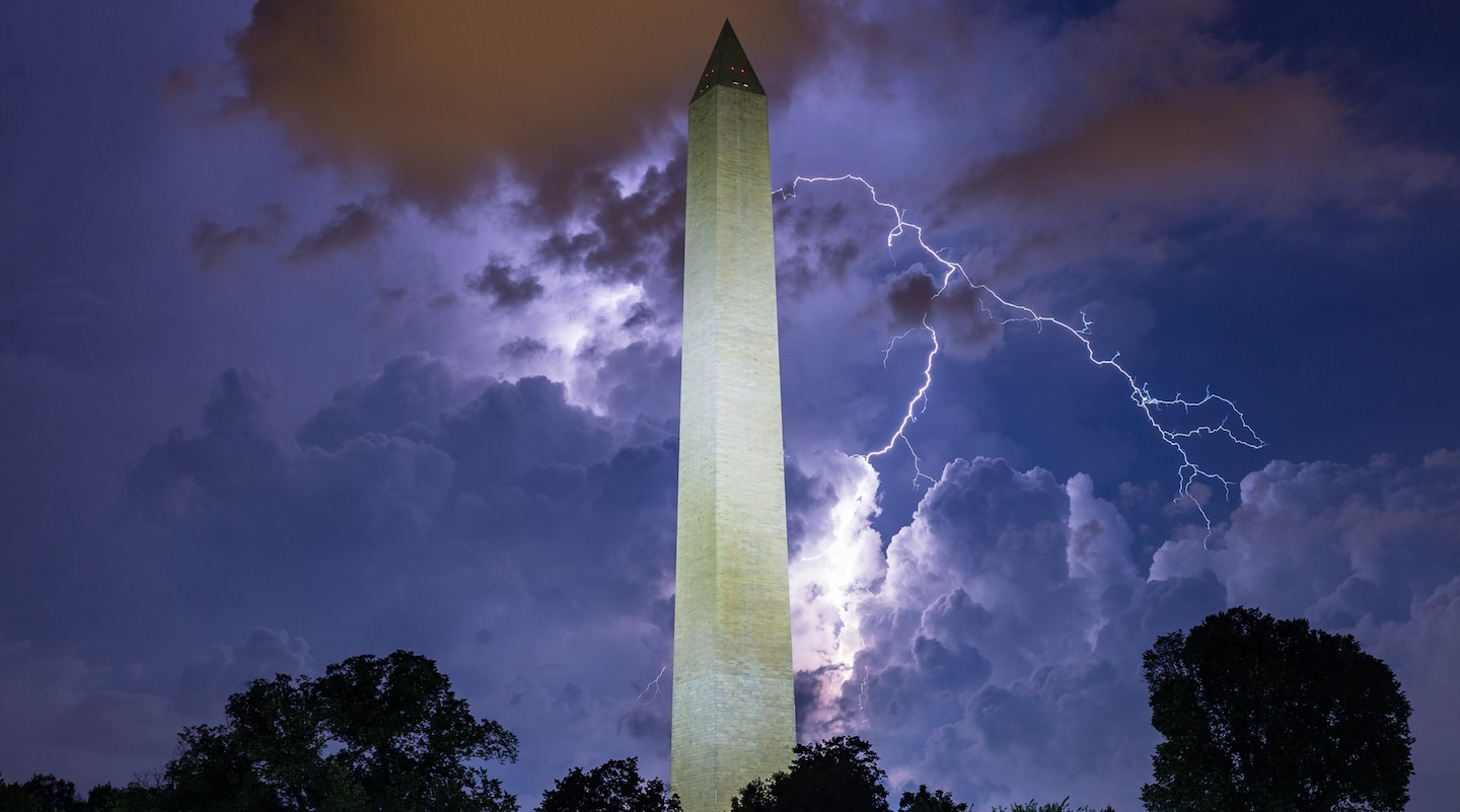
You’ll want to head indoors wherever possible.
Good news is that this batch is probably the main event, which means fireworks are still a go. Very humid, though.
Listen for thunder and be flexible in your plans, and have indoor shelter options nearby from now into tonight. Also, make sure to hydrate and seek shade as much as possible. Along with the potential for one or more intense storm rounds into tonight, we have reduced air quality and high heat index values around 100 degrees.
Listen to our daily D.C. forecasts: Apple Podcasts | Amazon Echo | More options
Through Tonight: Thunderstorms — a few of which could turn severe with damaging wind, dangerous lightning and flooding downpours — may not finish before fireworks on the National Mall. It’s a close call on timing tonight, with one or more rounds of potential storms, but almost all activity should be done by 11 p.m. Rain gear and plan-B shelter options nearby are encouraged. Find greater detail on this severe weather threat below.
An increased risk of heat illness remains until 8 p.m. for those outdoors, with heat index values (temperatures plus humidity) only slowly decreasing toward the mid-90s. By sunrise, the thermometer alone should sink to the upper 60s to mid-70s. Expect very soupy midsummer conditions.
Tomorrow (Friday): It could feel like 110 degrees during the afternoon in the hottest and most humid spots. A few clouds should be around from possible early showers or storms. Breezes from the southwest become more noticeable as the midafternoon to nighttime shower and storm chances arrive. The strongest storms may stay west of town. The thermometer tops out within a few degrees of 95 before dipping into the steamy 70s overnight.
Severe storm potential into tonight
We may see one or more rounds of severe storms this afternoon into tonight with damaging gusts over 57 mph, frequent lightning and flooding downpours. Let’s chronologically review the “marginal” (1 out of 5) overall severe storm chance into tonight:
- What: Potential for multiple rounds of storms as opposed to one definitive line or cluster
- Timing: 3 p.m. to 7:30 p.m. for the highest potential for severe storms, with less-intense storms still possible into late evening
- Threats: Damaging gusts over 57 mph (graphic above); a few flooding downpours (graphic below) with slow-moving storms; and frequent, dangerous lightning
- Geography: The motion of storms will generally be from west to east, probably forming over mountains to our west earliest in the afternoon. Storms will move toward and east of D.C. into the evening.
- Commentary: While our severe storm threat level isn’t huge and widespread, we are flagging a bit more vociferously than usual because this holiday is when we are all far more likely to be outside and vulnerable to severe weather.
#Strong #severe #storms #tonight,
#Strong #severe #storms #tonight
