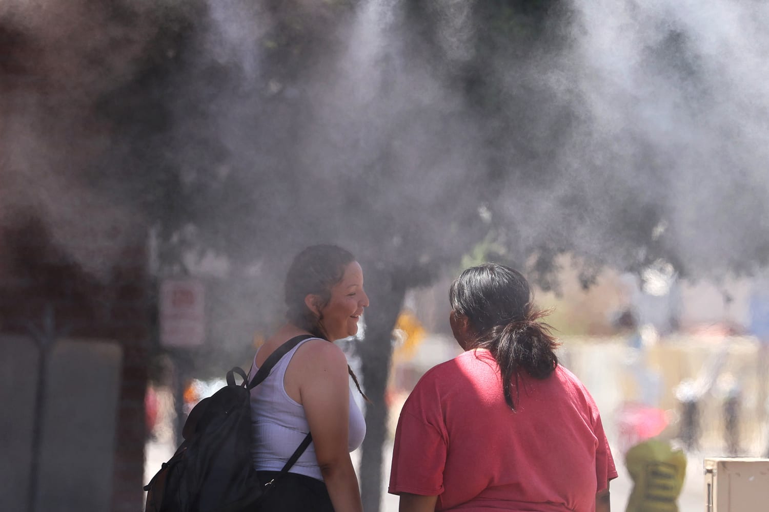
Another week of extreme heat will scorch parts of the Southwest this week in a heat dome that will bring triple digit temperatures to Arizona and Nevada, before moving east.
Eighteen million people in the Southwest and parts of California are under heat alerts through Thursday. During this time, temperature highs five to 15 degrees higher than average could lead to some record temperatures through Wednesday.
An excessive heat warning is in effect for the Phoenix metro area, plus other portions of south-central and northwest Arizona, from Tuesday through Thursday, during which temperatures could reach 111 F or higher.
“As we get to these first couple weeks of June, a lot of places are really starting to see those temperatures escalate,” said Todd Shoemake of the National Weather Service in Albuquerque. “Southern California, southern Nevada, southwestern Arizona, they’re starting to see lots of triple digits.”
Last Thursday, Phoenix hit 110 F for the first time this year with a record-setting high of 113 F.
Meanwhile, dangerously hot conditions are being forecast for central Las Vegas with highs ranging from 108 F on Tuesday and 111 F (43.8 C) on Wednesday.
Las Vegas reached 111 F last Thursday and 110 F last Friday, both records for the dates by one degree Fahrenheit.
Monday marks the 12th consecutive day of over 100 F temperatures since May 30. So far, Las Vegas is having its hottest start to June on record.
Elsewhere in Nevada, temperatures will hit around 118 F at Furnace Creek in Death Valley National Park, and 108 to 113 in Mesquite, the weather service said.
Albuquerque, where the normal high this time of year is 89 F, tied the record Friday of 100 F set in 1981.
In New Mexico, where Albuquerque’s normal high this time of year is 89 F, the city tied the record Friday of 100 F set in 1981.
By Thursday and Friday, the widespread heat will expand from the West into parts of the Midwest, Mid-Atlantic and Northeast. By Friday some record highs are likely across central Virginia and western North Carolina.
The Big Apple may warm up as well as New York City could see its first 90-degree day on Friday — which is a little late, as the average first 90-degree day is around May 28th.
While some states will bake in the heat this week, others will experience thunderstorms and possible flash flooding.
Florida will see an increased flood risk from Tuesday to Friday and some areas could pick up 10 inches of rain.
Tropical moisture will combine with a stalled storm system to create repeated rounds of rain over many of the same areas, threatening cities including Naples, Fort Myers, Key West, Miami and Fort Lauderdale with flash flood issues. However, the exact locations of the axis of heaviest rain is still uncertain as of Monday morning.
Also on Monday, severe storms capable of bringing hail, high winds and a tornado or two are possible for parts of eastern Wyoming, western South Dakota and western Nebraska.
By Wednesday, severe storms will most likely occur over eastern South Dakota, much of Minnesota and western Wisconsin. Minneapolis, Minnesota, and Sioux Falls, South Dakota, are cities that will need to be on guard for all hazards.
#sweltering #heat #scorch #Arizona #Nevada #week #moving #east #week,
#sweltering #heat #scorch #Arizona #Nevada #week #moving #east #week
